
MTB No. 20 - The red earth
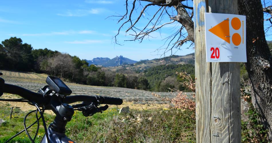
20
Route
Loop
Difficulty
Intermediary
Duration
3h
Distance
14.05km
Positive elevation
337 meters
Negative elevation
336 meters
Altitude
Min. 284 meters
Max. 470 meters
- circuit
- variante
- voie verte
- liaison
The tourist service at Malaucène :
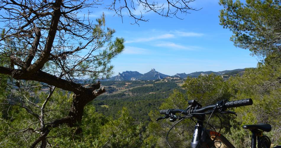
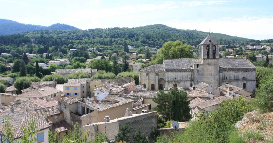
Technical mountain bike circuit via the Col de la Chaine, the GR4 and the GTV.Discover the vineyards and abbeys between Malaucène and Le Barroux.
To be noted
 If you notice a problem on one of the Provence cycling routes report it with the Suricate app!: sentinelles.sportsdenature.fr
Access to the massifs
Respect the regulations preserving protected natural areas – find out about restrictions to accessing the massifs during fire risk periods, from 15 June to 15 September.
Before heading out, check the website
Respect the regulations preserving protected natural areas – find out about restrictions to accessing the massifs during fire risk periods, from 15 June to 15 September.
Before heading out, check the website