
Gravel 35 - La Pitchoun

Route
Loop
Difficulty
Easy
Duration
1h
Distance
10.65km
Positive elevation
142 meters
Negative elevation
138 meters
Altitude
Min. 766 meters
Max. 840 meters
- circuit
- variante
- voie verte
- liaison
Departure / Arrival
Sault - Place des Aires / Sault - Place des Aires
Parking
Sault - Place des Aires
Elevation
GPX track
The tourist service at Sault :
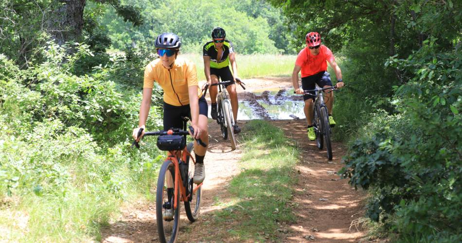
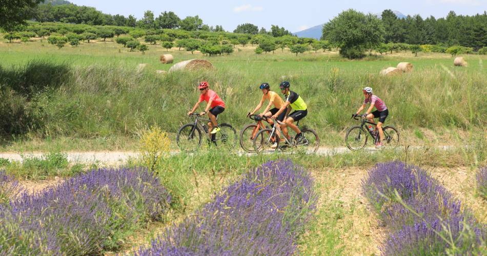
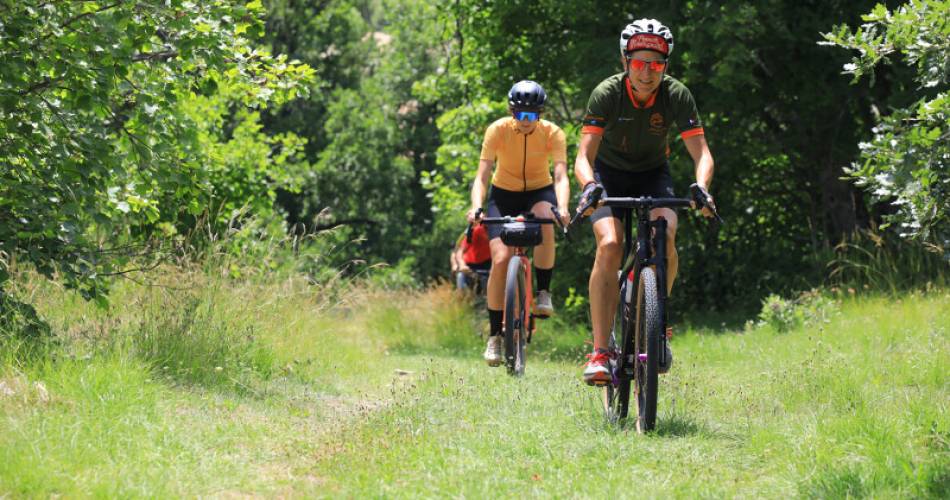
A shady, forested route on wide tracks and easy paths, with a few crossings of fields emblematic of the Plateau de Sault.Accéder à l'itinéraire
public transport
Nearest station: Carpentras (fr | ↗).
Then take the Zou bus network Line 912 Carpentras - Sault or Line 916 Apt - Sault, stop at Place des Aires (↗)
road access
From Carpentras, take the D942 towards Mormoiron, then the D1 towards Sault.
To be noted
- Autumn, winter and spring are the best seasons to visit. In summer, be sure to check the website to make sure the mountain is open and to take fire risk into account.
- During hunting season (September to February), wear brightly coloured clothing and respect the signs put up by hunters.
 If you notice a problem on one of the Provence cycling routes report it with the Suricate app!: sentinelles.sportsdenature.fr
Access to the massifs
Respect the regulations preserving protected natural areas – find out about restrictions to accessing the massifs during fire risk periods, from 15 June to 15 September.
Before heading out, check the website
Respect the regulations preserving protected natural areas – find out about restrictions to accessing the massifs during fire risk periods, from 15 June to 15 September.
Before heading out, check the website
In short
Undergrowth, lavender, freshness, ideal for discovery!Contact
Conseil départemental de Vaucluse - Maison des SportsE-Mail : info@provenceguide.com
Website : http://www.provenceguide.com