
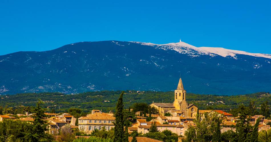
Carpentras
22 - through the Comtat
The tourist service at Carpentras :
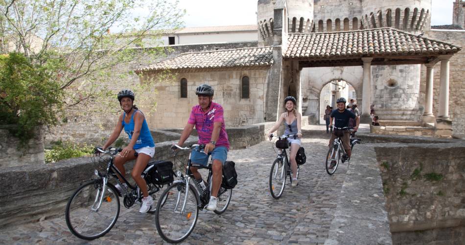
This itinerary leads you through the Comtat Plain and its varied agricultural landscapes: strawberries, asparagus, vines…
Not forgetting a short visit to the historic cities of the Comtat Venaissin - Pernes-les-Fontaines and Carpentras - where cyclists can discover unmissable historical monuments in the area such as a synagogue, gates, chapels, private mansions etc. Itinerary created by 'Communauté d'agglomération Ventoux Comtat Venaissin' www.destination-ventoux.com
Dates and times
All year round daily.
Prices
Free access.
Spoken languages
- French
Contact
22 - through the Comtat1171, Avenue du Mont Ventoux
84200 Carpentras
Phone : Show number 04 90 63 00 78
E-Mail : carpentras@ventouxprovence.fr
Website : https://www.provence-a-velo.fr/equipements/mont-ventoux/22-au-fil-du-comtat/provence-4604196-1.html
E-Mail : carpentras@ventouxprovence.fr
Website : https://www.provence-a-velo.fr/equipements/mont-ventoux/22-au-fil-du-comtat/provence-4604196-1.html
coordinates
Longitude : 5.045118Latitude : 44.056828