
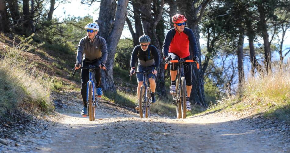
Itinéraire Gravel n°29 - Du pays d'Aigues au grand Luberon
30
Route
Loop
Difficulty
Difficult
Duration
6h
Distance
69.73km
Positive elevation
1532 meters
Negative elevation
1 meters
Altitude
Min. 240 meters
Max. 637 meters
- circuit
- variante
- voie verte
- liaison
Departure / Arrival
La Tour d'Aigues / La Tour d'Aigues
Parking
La Tour d'Aigues
Elevation
GPX track
The tourist service at La Tour-d'Aigues :
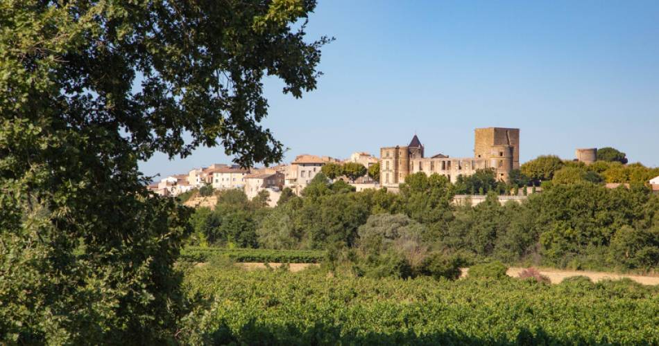
You'll discover the must-see villages of the Sud Luberon by following paths and pedaling through forests. Between ascents and descents, you'll enjoy sublime panoramas!To be noted
 If you notice a problem on one of the Provence cycling routes report it with the Suricate app!: sentinelles.sportsdenature.fr
Access to the massifs
Respect the regulations preserving protected natural areas – find out about restrictions to accessing the massifs during fire risk periods, from 15 June to 15 September.
Before heading out, check the website
Respect the regulations preserving protected natural areas – find out about restrictions to accessing the massifs during fire risk periods, from 15 June to 15 September.
Before heading out, check the website