
Itinéraire Gravel n°19 - Between ochre, vines and garrigues
19
Route
Loop
Difficulty
Easy
Duration
3h
Distance
37.13km
Positive elevation
0 meters
Negative elevation
0 meters
Altitude
Min. 0 meters
Max. 0 meters
- circuit
- variante
- voie verte
- liaison
The tourist service at Apt :
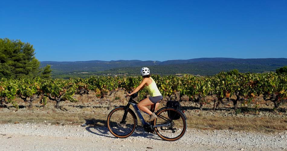
Would you like to discover gravel riding? Set off on the Entre Ocres, Vignes et Garrigues route. A 40km loop to be completed at your own pace and without difficulty! Starting from Apt, you'll wind your way through the splendid villages of the Luberon!
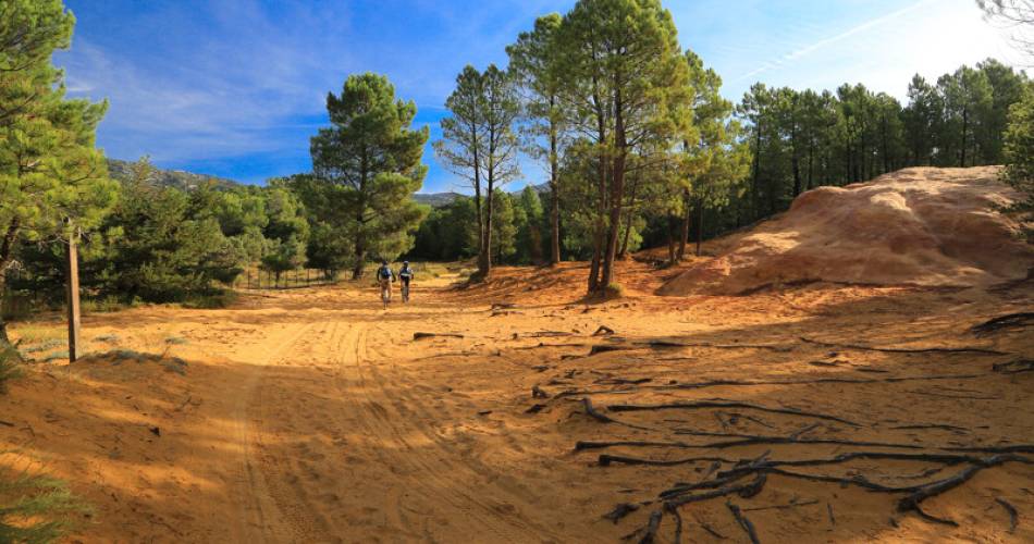
Departure and return are the same as for MTB circuit no. 63, a very easy connecting route between Apt, the Plan d'eau de La Riaille and Gargas. On the whole, a fairly rolling gravel route, it passes the eastern foot of the Perréal hill, crosses the plain and the village of Villars, then climbs to Saint-Saturnin-lès-Apt. It continues at the foot of the southern flank of the Monts-de-Vaucluse to reach the western buttress of the La Madeleine cliff (Lioux). From here, heading south, the route climbs up to the village of Roussillon, reaches the Conservatoire des ocres and then returns to Gargas via the La Gardette ochre massif and the Mines de Bruoux.
To be noted
 If you notice a problem on one of the Provence cycling routes report it with the Suricate app!: sentinelles.sportsdenature.fr
Access to the massifs
Respect the regulations preserving protected natural areas – find out about restrictions to accessing the massifs during fire risk periods, from 15 June to 15 September.
Before heading out, check the website
Respect the regulations preserving protected natural areas – find out about restrictions to accessing the massifs during fire risk periods, from 15 June to 15 September.
Before heading out, check the website