
Gravel route no. 24 - Le Plateau des Claparèdes
24
Route
Loop
Difficulty
Very easy
Duration
2h
Distance
29.32km
Positive elevation
545 meters
Negative elevation
541 meters
Altitude
Min. 320 meters
Max. 558 meters
- circuit
- variante
- voie verte
- liaison
The tourist service at Bonnieux :
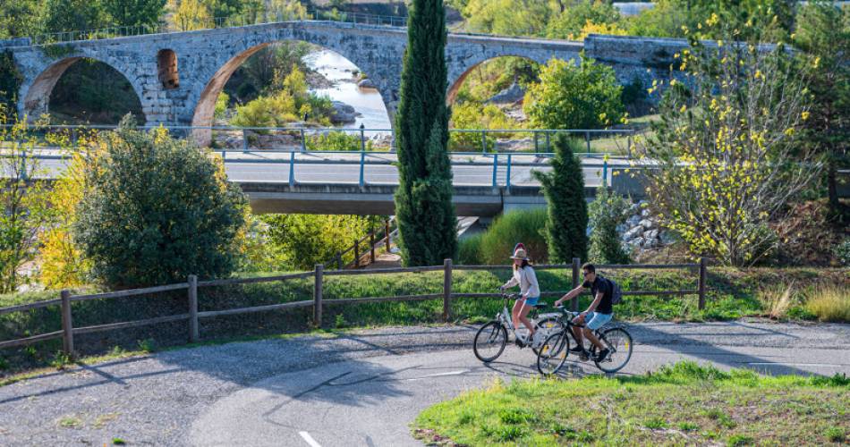
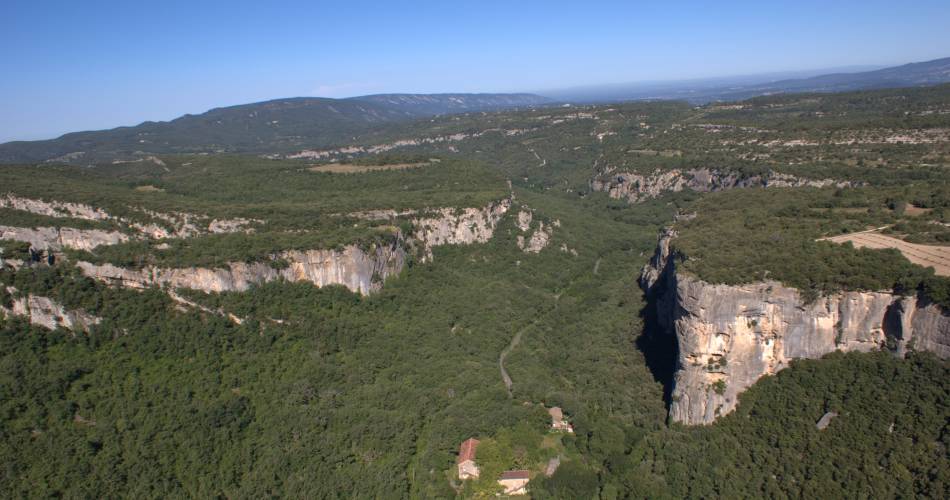
Would you like to enjoy a short gravel ride suitable for everyone? With its 31 km, the "Le plateau de Claparèdes" itinerary is ideal for enjoying the many viewpoints of the Grand Luberon mountain range or discovering its treasures.
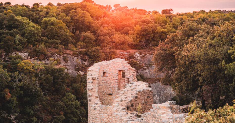
The start on country lanes and small roads, also used by the signposted "Autour du Luberon à vélo" itinerary, is fairly quiet. Progress becomes more difficult after the Vieux Château des Tourettes (not as easy a descent as it looks) and the Hameau des Agnels (a good climb on the road). Once you've reached Barbe Blanche on the Claparèdes plateau, the route descends to Buoux and its château. From here, the steep but paved ascent of the Jas road leads to the Col du Pointu (499 m), then on to the village of Bonnieux via a succession of undergrowth paths, tracks between crops and small roads with varying degrees of surface quality.
To be noted
 If you notice a problem on one of the Provence cycling routes report it with the Suricate app!: sentinelles.sportsdenature.fr
Access to the massifs
Respect the regulations preserving protected natural areas – find out about restrictions to accessing the massifs during fire risk periods, from 15 June to 15 September.
Before heading out, check the website
Respect the regulations preserving protected natural areas – find out about restrictions to accessing the massifs during fire risk periods, from 15 June to 15 September.
Before heading out, check the website