
Gravel n°29 - From Etang de la Bonde to Fontjoyeuse
Route
Loop
Difficulty
Very easy
Duration
2h
Distance
19.08km
Positive elevation
331 meters
Negative elevation
329 meters
Altitude
Min. 328 meters
Max. 441 meters
- circuit
- variante
- voie verte
- liaison
Departure / Arrival
La Motte-d'Aigues / La Motte-d'Aigues
Parking
La Motte-d'Aigues
Elevation
GPX track

The tourist service at La Motte-d'Aigues :
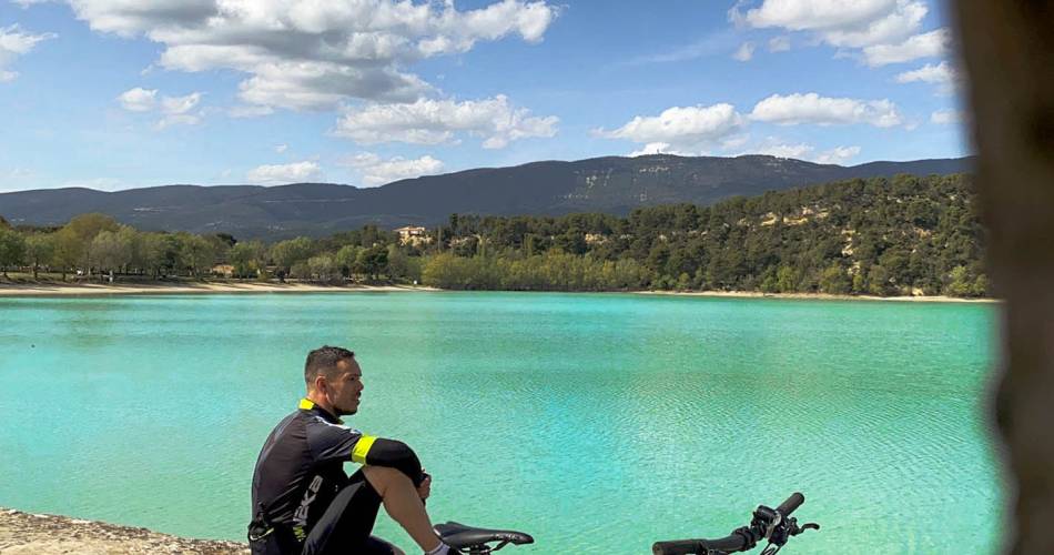
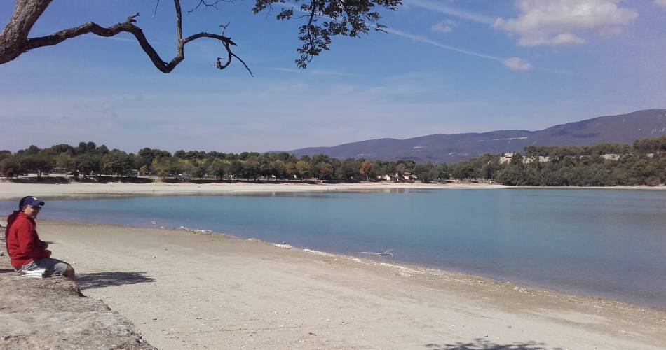
This little loop is perfect for discovering the charming villages of the South Luberon. The little extra: enjoy a relaxing moment by the Etang de la Bonde!Accéder à l'itinéraire
public transport
recommended
parking(s)
road access
To be noted
Be careful of traffic when using the D25 departmental road at the start and after Fontjoyeuse.
This route uses roads open to public traffic, so it is essential to obey the Highway Code at all times. Wearing a helmet is strongly recommended for both children and adults!
During the hunting season (September to February), wear brightly coloured clothing, pay attention to the signs posted during big game hunts and, if in doubt, ask the hunters in the area for more information.
Along the way, even near villages, you may cross pastoral areas. If you encounter guard dogs, do not pet them or threaten them. Stop, protect yourself with your bicycle if necessary, then wait patiently for the ‘check’ to end before calmly continuing on your way, walking for the first few metres and going around the herd as much as possible if necessary.
 If you notice a problem on one of the Provence cycling routes report it with the Suricate app!: sentinelles.sportsdenature.fr
Respect the regulations preserving protected natural areas – find out about restrictions to accessing the massifs during fire risk periods, from 15 June to 15 September.
Before heading out, check the website
In short
Aesthetic, pleasant and easy... but bumpy!