
Gravel loop No. 6-Route des caves coop gardoises

Route
Loop
Difficulty
Difficult
Duration
4h
Distance
56.05km
Positive elevation
381 meters
Negative elevation
381 meters
Altitude
Min. 16 meters
Max. 119 meters
The tourist service at Villeneuve-lez-Avignon :
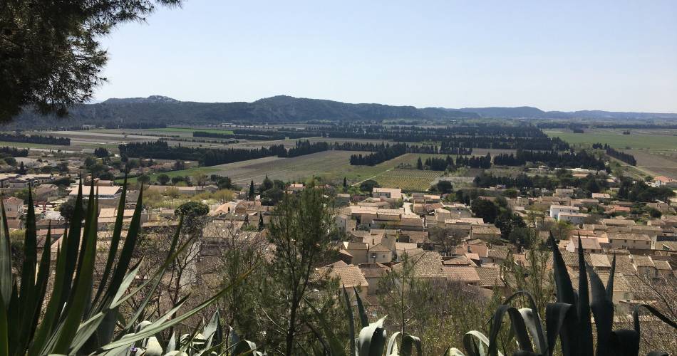
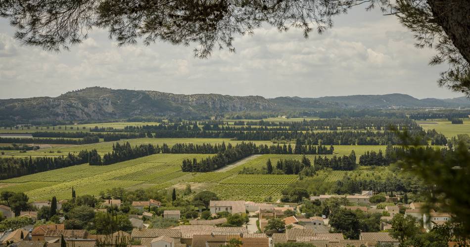
Loop along paths and roads through the Rhône plain, the Côtes du Rhône Gardoise vineyards and the garrigue.Road access: Avenue Charles De Gaulle / Parking Place Charles David in Villeneuve

From the banks of the Rhône to the vineyards of Lirac and Tavel, this loop takes in a variety of landscapes.
Garrigue, pine forest with sandy soil, historical and religious heritage, this itinerary, with no obvious difficulties, is a great introduction to gravel.
-Road access: Avenue Charles De Gaulle / Parking Place Charles David in Villeneuve, Pont Edouard Daladier / Parking Ile Piot Avignon
-Parking: Parking relais Piot from Avignon / Place Charles David from Villeneuve lez Avignon
-Public transport: Bus Orizo N°5
-Recommendations: Avoid very hot weather, as the route is exposed to the Mistral wind.
-Equipment: Gravel at least
To be noted
 If you notice a problem on one of the Provence cycling routes report it with the Suricate app!: sentinelles.sportsdenature.fr
Access to the massifs
Respect the regulations preserving protected natural areas – find out about restrictions to accessing the massifs during fire risk periods, from 15 June to 15 September.
Before heading out, check the website
Respect the regulations preserving protected natural areas – find out about restrictions to accessing the massifs during fire risk periods, from 15 June to 15 September.
Before heading out, check the website
In short
Downloads